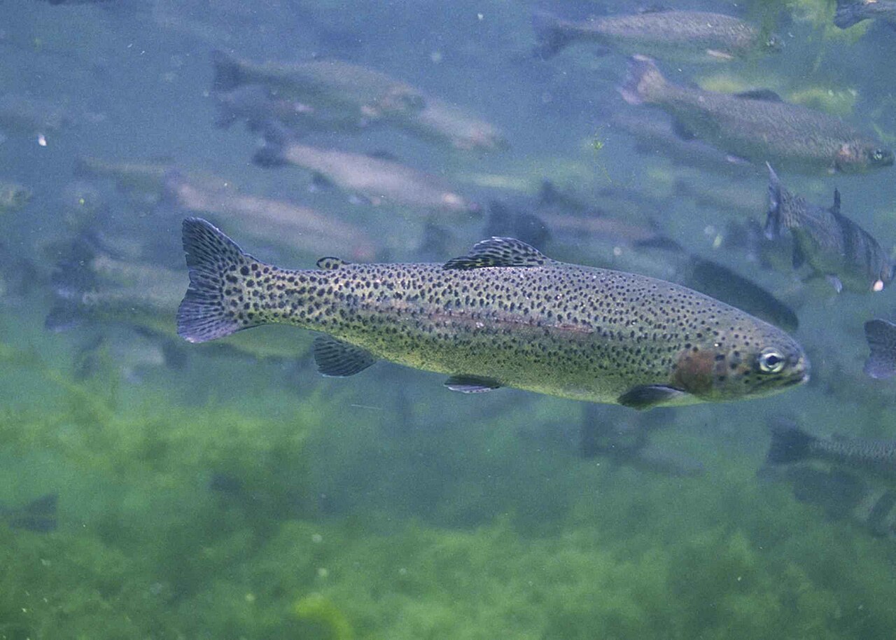
 Rainbow Trout Confirmed present Best: dawn, dusk
Best: dawn, dusk
Rainbow Trout species guideTuolumne River South Fork fishing lists Rainbow Trout on a river section, outside the stocking reports. Species guides list dawn and dusk as the active times.
Rainbow Trout Confirmed present Best: dawn, dusk Best: dawn, dusk
Rainbow Trout species guideCalifornia Department of Fish and Wildlife lists Tuolumne River South Fork on its stocking plans. These are planned or scheduled dates, not confirmed releases, and they are not counted in this page's stocking totals.
| Scheduled | Species | Quantity | Source |
|---|---|---|---|
| Scheduled: April 19, 2026 (agency plan) | Mixed Trout | – | plan |
| Scheduled: May 3, 2026 (agency plan) | Mixed Trout | – | plan |
| Scheduled: May 17, 2026 (agency plan) | Mixed Trout | – | plan |
| Scheduled: May 31, 2026 (agency plan) | Mixed Trout | – | plan |
| Scheduled: June 14, 2026 (agency plan) | Mixed Trout | – | plan |
| Scheduled: June 28, 2026 (agency plan) | Mixed Trout | – | plan |
| Scheduled: July 5, 2026 (agency plan) | Mixed Trout | – | plan |
| Scheduled: July 12, 2026 (agency plan) | Mixed Trout | – | plan |
| Scheduled: July 26, 2026 (agency plan) | Mixed Trout | – | plan |
| Scheduled: August 9, 2026 (agency plan) | Mixed Trout | – | plan |
Reached via Highway 120 or the Carlon Day Use Area, with Rainbow Pool another access point along the river. Trout are stocked here during the fishing season. Overnight camping is not permitted in the day-use areas.
Drafted by AI from the cited sources and checked before publishing.
Advisories, closures, regulations and water conditions change. Check the California Department of Fish and Wildlife before you go.
No other lakes on record in California yet.
Campgrounds within 15 miles of Tuolumne River South Fork's mapped point, nearest first: Sweetwater camping (3.4 miles), Dimond "o" camping (5.4 miles), Lost Claim camping (5.9 miles), Cherry Valley camping (11.8 miles), and Tamarack Flat Campground (12.1 miles), each with its own campground page on campgroundsdb.com.
Straight-line distances.
Tuolumne River South Fork is 0.3 miles outside the edge of Stanislaus National Forest.
Boundaries from Public Lands DB, part of the same network.
Rainbow Trout is recorded here outside the stocking reports.
The nearest town is Groveland, CA. Reached via Highway 120 or the Carlon Day Use Area, with Rainbow Pool another access point along the river. Trout are stocked here during the fishing season. Overnight camping is not permitted in the day-use areas.