Cabresto Lake fishing
Cabresto Lake fishing lists Brook Trout on a high alpine lake, outside the stocking reports. Species guides list dawn, day, and dusk as the active times.
- Last stocked
- Not in these reports
- Plants on record
- 0
- Species recorded
- 1
Fish at Cabresto Lake
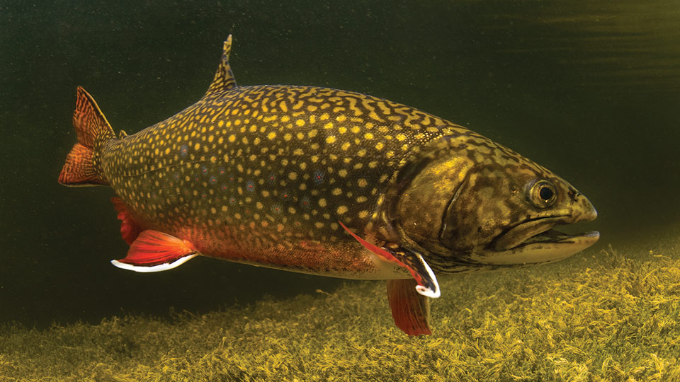 Brook Trout Confirmed present Best: dawn, day, dusk
Best: dawn, day, dusk
Carson NF says Cabresto Lake is one of the few places in New Mexico where visitors might catch a brook trout. NMDGF also lists the lake among uncommon brook trout waters. (fs.usda.gov, accessed September 29, 2026)
How to fish it
USFS and NMDGF both single out Cabresto Lake as an uncommon New Mexico brook trout opportunity; fish from shore or a small non-motorized craft after the steep walk down from parking. (fs.usda.gov, accessed September 29, 2026)
Access and facts
- Water type
- high alpine
- Nearest town
- Questa, NM
- Shore access
- Yes
- Facilities
- restrooms, camping
Carson National Forest campground at 9,500 feet, 5 miles NE of Questa on FR 134 then 2 miles on primitive FR 134A. Four semi-dispersed sites, vault toilet, no potable water. Shore reached via a steep slope from the shared Lake Fork Trail parking; non-motorized boats only, single-person kayaks or…
Other places to fish at Cabresto Lake
About Cabresto Lake
The small USFS campground sits on a ridge above the lake. Non-motorized boats are allowed, but there is no formal hand-launch, only a steep shore approach from the parking area. Cabresto Lake is a high-alpine Carson National Forest water at about 9,500 feet northeast of Questa. overlooking Latir Peak Wilderness access via Lake Fork Trail.
Nearest lakes
Camping near Cabresto Lake
Campgrounds within 15 miles of Cabresto Lake's mapped point, nearest first: Elephant Rock camping (3.7 miles), Fawn Lakes camping (4 miles), Columbine camping (4.7 miles), Twining camping (10.9 miles), and Cuchilla camping (13.1 miles), each with its own campground page on campgroundsdb.com.
Straight-line distances.
Public land at Cabresto Lake
Cabresto Lake is inside Carson National Forest.
It is 0.1 miles outside the edge of Latir Peak Wilderness.
Boundaries from Public Lands DB, part of the same network.