Sand Hollow Reservoir fishing
Sand Hollow Reservoir fishing lists Bluegill on a reservoir, outside the stocking reports. Species guides list dawn, day, and dusk as the active times.
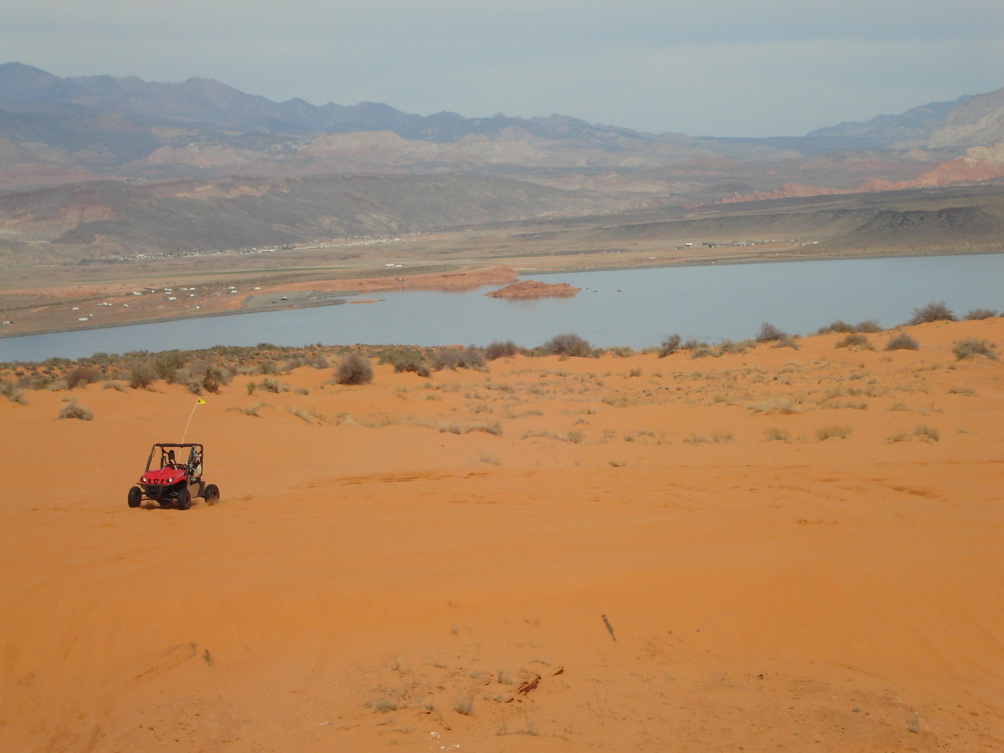
- Last stocked
- Not in these reports
- Plants on record
- 0
- Species recorded
- 1
- Surface acres
- 1,300
- Elevation
- 3,060 ft
Fish at Sand Hollow Reservoir
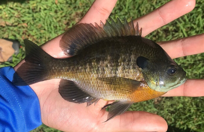 Bluegill Confirmed present Best: dawn, day, dusk
Best: dawn, day, dusk
A bass-fishing guide lists bluegill as one of the reservoir's other primary catches, alongside largemouth bass. (monsterbass.com, accessed September 25, 2026)
Bluegill species guideAccess and facts
- Water type
- reservoir
- Nearest town
- Hurricane, UT
- Shore access
- Yes
- Facilities
- camping
Public access is only through Sand Hollow State Park, off the Hurricane exit on I-15 north of St. George. The park has a campground with full hookups and showers. The reservoir sees heavy water-sports traffic (ski boats, jet skis) in warm months, so early mornings are the quieter time to fish it.
Other places to fish at Sand Hollow Reservoir
About Sand Hollow Reservoir
Largemouth bass from 8 to 16 inches are extremely abundant at Sand Hollow, with some fish over 5 pounds plus bluegill and occasional bullhead. Fish early mornings when warm-month water sports crowd the lake. The 1,300-acre Washington County reservoir opened in 2004 and is reached only through Sand Hollow State Park at 3,060 feet.
Nearest lakes
Camping near Sand Hollow Reservoir
Campgrounds within 15 miles of Sand Hollow Reservoir's mapped point, nearest first: Snow Canyon Quail Group Campground (0.9 miles), Snow Canyon State Park Campground (1 mile), Snow Canyon Cottontail Group Campground (1.1 miles), Gunlock State Park Campground (9.1 miles), and Red Cliffs Campground (12.4 miles), each with its own campground page on campgroundsdb.com.
Straight-line distances.
Public land at Sand Hollow Reservoir
Sand Hollow Reservoir is 0.2 miles outside the edge of Snow Canyon State Park.
It is 0.3 miles outside the edge of Red Cliffs National Conservation Area.
Boundaries from Public Lands DB, part of the same network.