Lake Thomas fishing
Lake Thomas fishing is stocked with Rainbow Trout, Brook Trout, Largemouth Bass, Tiger Trout, Black crappie, Pumpkinseed, and 2 more on a natural lake. It is stocked about once a year since 2025, most often in March and April. Species guides list dawn and dusk for Rainbow Trout, Largemouth Bass, and Tiger Trout and dawn, day, and dusk for Brook Trout.
- Last stocked
- March 30, 2026
- 184 days ago · Rainbow Trout
- Plants on record
- 2
- Since 2025
- Species recorded
- 1
- Average size
- 10 in
- Surface acres
- 208.7
- Elevation
- 3,151 ft
Fish at Lake Thomas
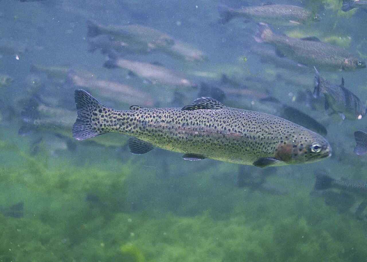 Rainbow Trout Stocked · 2 plants · last March 30, 2026 Best: dawn, dusk
Black crappie Confirmed present
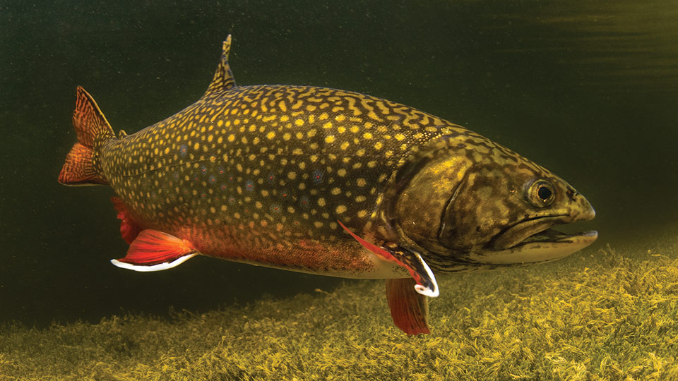 Brook trout Confirmed present Best: dawn, day, dusk
Best: dawn, day, dusk
Brook trout species guide 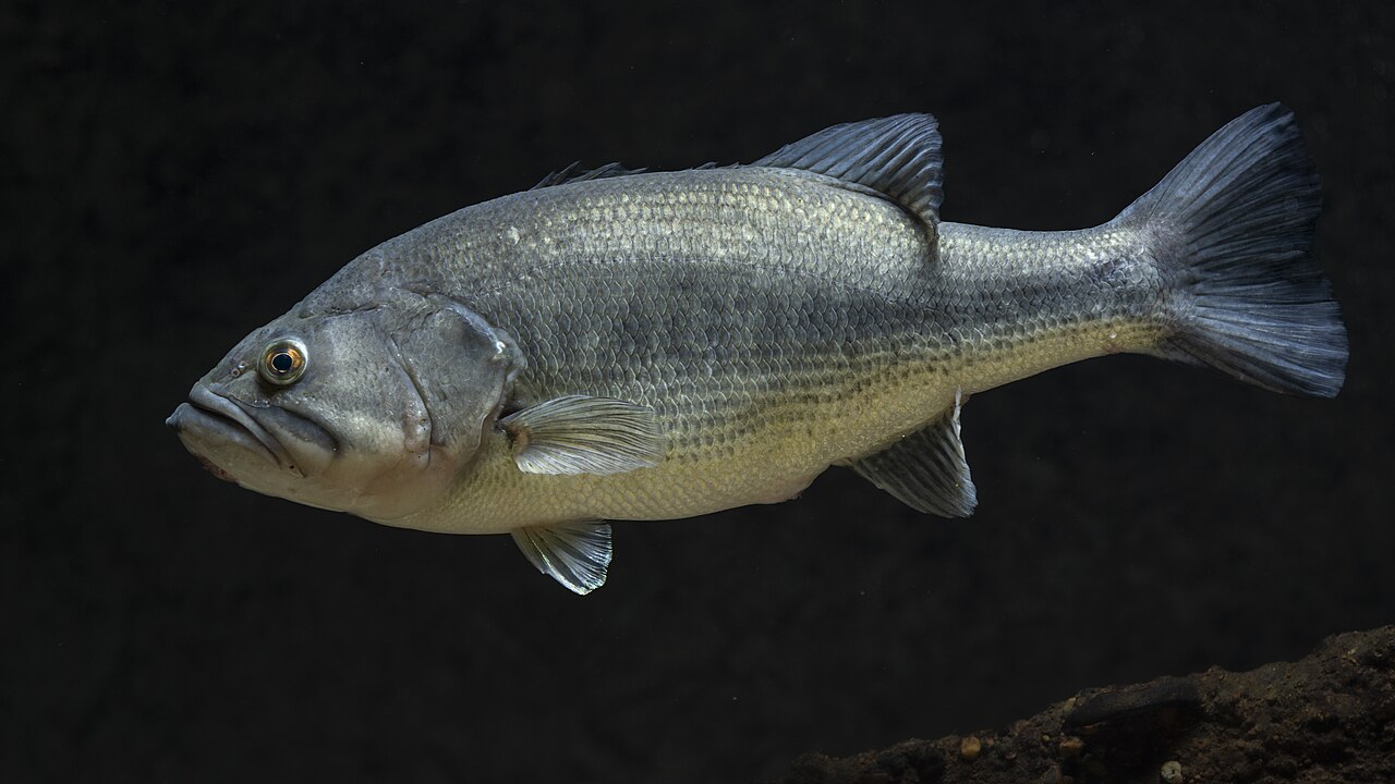 Largemouth bass Confirmed present Best: dawn, dusk
Best: dawn, dusk
Largemouth bass species guidePumpkinseed Confirmed present
Tench Confirmed present
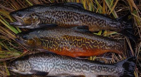 Tiger trout Confirmed present Best: dawn, dusk
Best: dawn, dusk
Tiger trout species guideYellow perch Confirmed present
How Lake Thomas is stocked
About 60 reported fish per acre, 6th most of 11 lakes in Stevens County with both a fish count and a surface area.
Fish stocked in 2025
3,450
Fish stocked in 2026
9,000
Stocking history
| Date | Species | Quantity | Avg. length | Source |
|---|---|---|---|---|
| March 30, 2026 | Rainbow Trout | 9,000 | 10 in | report |
| April 11, 2025 | Rainbow Trout | 3,450 | 10 in | report |
Access and facts
- Water type
- natural lake
- Shore access
- Yes
Shoreline access: Good. Shoreline access is good around Forest Service campground.
Nearest lakes
Camping near Lake Thomas
Campgrounds within 15 miles of Lake Thomas's mapped point, nearest first: Lake Gillette camping (0.7 miles), Gillette camping (0.7 miles), Sherry Creek Campground (1.5 miles), Lake Leo camping (2.8 miles), and Flodelle Creek Campground (5.5 miles), each with its own campground page on campgroundsdb.com.
Straight-line distances.
Public land at Lake Thomas
Lake Thomas is less than 0.1 miles outside the edge of Colville National Forest.
Boundaries from Public Lands DB, part of the same network.